Chitkul Travel Guide: My Time Beside the Baspa River
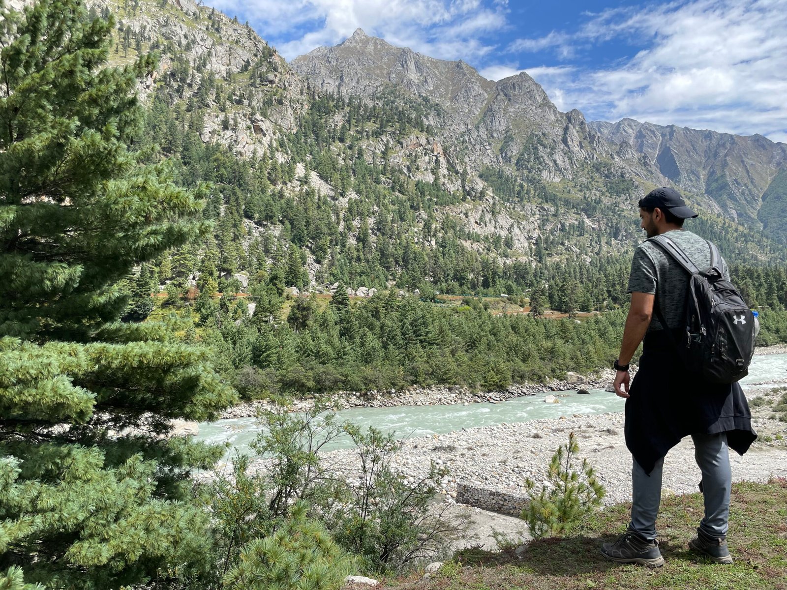
I remember Chitkul through the sound and colour of the Baspa River. I sat on a large stone beside the fast, pale-blue water while pine trees and steep mountains filled the opposite bank. The village is often introduced as “India’s last village,” but the river and the scale of the valley were more memorable to me than the label.
Chitkul is the last inhabited village on the motorable road through the Baspa Valley, according to Himachal Tourism. That does not mean visitors can keep walking towards the international border. The area beyond the village includes restricted and sensitive zones, so local security instructions must be followed.
My short take: come to Chitkul for the Baspa River, mountain scenery, village walk and slower pace. Give the road enough time, stay at least one night if you can and check the current Karchham to Sangla to Chitkul road status before leaving.
The Baspa River stopped me first
The riverbank was the part of Chitkul where I naturally slowed down. The water moved quickly over rounded stones, and the valley felt much wider from the bank than it had through the car window.

I found a safe, dry rock and sat there for a while. It was a simple moment, but it is the clearest memory I have from the visit. The water is cold and the current can be stronger than it looks, so this is not a river where I would step in casually for a photograph.
Keep children close, avoid wet or unstable stones and move back if the river rises after rain. A calm-looking edge can still be slippery.
What “last village” really means
Himachal Tourism describes Chitkul as the last inhabited village on the Indo-Tibet border route and says the motorable road ends at the village. It lies in the Baspa Valley, around 25 km from Sangla.
The phrase is useful for understanding its remote position, but it has become a marketing shortcut. Chitkul is a real Kinnauri village with homes, fields, temples and daily routines. It is not an empty frontier created for tourists.
I would not use “last village” as permission to approach a restricted border area. Follow signs, barriers and instructions from the Indo-Tibetan Border Police or local authorities. If a road or walking route is closed, do not search for another way around it.
The road through Sangla Valley
The route leaves the main Kinnaur highway at Karchham and follows the Baspa River through Sangla and Rakchham before reaching Chitkul. Himachal Tourism lists the full Karchham to Sangla to Chitkul road and identifies Chitkul as 65 km from Reckong Peo.
The road is scenic, narrow and exposed in places. Landslides, falling stones, rain and snow can interrupt movement, even when a map app shows the route as open. A local driver is a sensible choice if you are not comfortable on mountain roads.
Start early and avoid turning the journey into a night drive. Keep fuel, water and a little food with you. Most importantly, check the day’s road update locally in Sangla or with your accommodation before starting the final section.
What I saw around the village
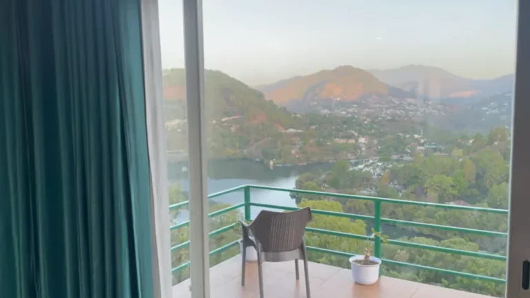
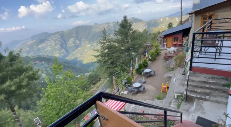
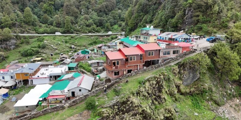
My photographs show the character of the valley more clearly than a long attraction list. There were forested slopes, exposed grey rock, high ridges and a bright blue sky that changed as clouds gathered around the peaks.

The village itself rewards an unplanned walk. Look at the traditional wood-and-stone buildings, move quietly around residential lanes and ask before photographing people or private homes.
The Mathi temple is an important local religious site. Himachal Tourism identifies it as a small temple dedicated to the local goddess Mathi in the centre of the village. Respect local rules about photography, footwear and entry. Do not assume every part of a temple is open to visitors.
Chitkul and the wildlife sanctuary
Chitkul and Rakchham give their names to the Rakchham-Chitkul Wildlife Sanctuary. Himachal Tourism places the sanctuary on the upper slopes around the valley and records an area of 304 square kilometres.
That protected setting is another reason to keep the visit low-impact. Wildlife sightings are never guaranteed, and searching off-trail can disturb habitat or put you at risk. Use a registered local guide for any serious walk into the sanctuary and confirm whether permission is required for the route.
Do not leave food waste, plastic or tissues behind. The valley does not need another visitor treating a remote location as someone else’s cleanup problem.
When the mountains change within minutes
One of my photographs shows a clear ridge in warm evening light. Another, taken around the same trip, has cloud rolling over the rock. That quick change is normal mountain behaviour.

Carry a warm outer layer even if the afternoon feels sunny. The temperature drops after sunset, and wind beside the river makes it feel colder. A compact rain layer is useful outside the driest periods.
I liked the changing light. I did not like how easy it was to underestimate the cold once the sun dropped behind the ridge.
The best time to visit Chitkul
Himachal Tourism recommends April to October for the wider Kinnaur region. For most first-time visitors, late spring, summer and early autumn offer the best chance of road access and village walks.
Monsoon brings greener landscapes but also raises the risk of landslides and road closures on the journey through Kinnaur. Early autumn can bring clearer views and colder nights. Winter snowfall may close the final road to Chitkul or reduce services.
There is no month that removes mountain risk. Check the weather and road on the day, not just when you book the trip.
How many days should you keep?
One night is the minimum I would choose after such a long road journey. It lets you see the village in the evening and again the next morning without arriving, taking a photograph and leaving immediately.
Two nights make sense if you want a slow river walk, time in Rakchham or a guided nature walk. A rushed day trip from far outside Sangla Valley places too much pressure on the road timing.
If the forecast worsens, leave before the weather forces the decision. An extra hotel night is inconvenient. Being stranded between landslide points is worse.
Where to stay without relying on an old list
Chitkul has guesthouses, homestays, hostels and seasonal camps, but individual businesses and service levels change. I do not have enough verified notes to recommend a particular property from my visit.
Before booking, ask about vehicle access, parking, room heating, hot water, meals and mobile connectivity. Confirm whether the property remains open on your dates, especially near the start or end of the tourist season.
A river view is attractive, but warmth and safe access matter more after dark. Read recent guest feedback and contact the property directly.
Food, cash and connectivity
Expect small local eateries and simple menus rather than a large restaurant scene. Opening hours can depend on visitor numbers, weather and supplies arriving through the valley.
Carry some cash because card machines and mobile payments can fail when the network drops. Keep essential medicines and basic snacks with you, but avoid hauling unnecessary packaged food into the village.
Internet access may be limited or inconsistent. Download maps, booking details and identification documents before entering the valley.
Do you need a permit for Chitkul?
Indian travellers generally visit Chitkul itself without an Inner Line Permit, but that does not open restricted areas beyond the village. Foreign nationals can face different permit rules in protected parts of Kinnaur.
Rules depend on nationality, route and the specific place you plan to enter. Check with the district administration or an authorised tourism office before travelling rather than relying on a broad statement from a blog.
A practical two-day plan
Day one: Sangla or Rakchham to Chitkul
Start after checking the road, reach Chitkul in daylight and settle into your accommodation. Walk through the village, visit the river from a safe point and watch the light change on the mountains.
Day two: a quiet morning and timely departure
Take an early walk, visit the Mathi temple area respectfully and have breakfast before leaving. If you want to stop in Rakchham, do it while there is plenty of daylight and only if the road remains clear.
This plan looks modest. That is the point. Chitkul is better when the schedule leaves room to sit by the Baspa instead of racing between labels on a map.
What I would carry next time
- A warm jacket and light rain protection
- Walking shoes with reliable grip
- Water, essential medicine and a small snack
- Cash and offline copies of bookings
- A power bank and downloaded map
I would also leave more space in the car than I usually do. A tightly packed vehicle becomes irritating on a long mountain road, especially when everyone needs layers, water and cameras during short stops.
Would I return?
Yes. I would return for the same reason I remember the trip now: the Baspa River under the steep, forested mountains. I would not go to collect a border photograph or tick off a list of ten attractions.
Chitkul felt special when I stopped moving and sat beside the water. That is the version of the village I would plan for again.
Official planning links and related guides
Use the official Himachal Tourism Kinnaur guide for route, distance and seasonal context. The official sanctuary guide explains the Rakchham-Chitkul protected landscape.
For more mountain journeys, read my Sissu Village snowfall guide, White Musk Resort Sethan review and Rishikesh weekend guide.
For other stops in Kinnaur, read my Kalpa stay review and Nako Village guide. These are separate visits, not a suggested day trip from Chitkul.