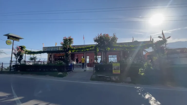
Adi Kailash Yatra and Om Parvat: Our 6-Day Road Trip
At 2 in the morning, Gurgaon was behind us and Dharchula was still a very long drive away. Rain met us near the Uttar Pradesh and Uttarakhand border, the forecast looked unsettled, and our first plan was already changing. That set the tone for our Adi Kailash Yatra. The mountain views were extraordinary, but the trip itself was rough, slow and frequently decided by permits, road blocks and weather.
This is our complete six-day Adi Kailash Yatra and Om Parvat road trip, recorded from the route we actually followed in May 2025. We drove through Dharchula, Budhi, Gunji, Nabi and Kuti before reaching Jolingkong for Adi Kailash, Parvati Sarovar and Gauri Kund. Om Parvat came first. Patal Bhuvaneshwar came on the return. I have kept the inconvenient parts in because they matter far more than a neat package itinerary when you are planning this route yourself.
Our Adi Kailash Yatra route at a glance
Our Adi Kailash Yatra route ran from Gurgaon to Dharchula, then up the Kali valley through Budhi and Gunji. Gunji is the practical fork in the journey. One side goes toward Nabhidhang and the Om Parvat view area. The other passes Nabi and Kuti on the way to Jolingkong, Parvati Sarovar and Adi Kailash. We returned through Dharchula and added Patal Bhuvaneshwar before heading home.
| Day | Route we followed | What shaped the day |
|---|---|---|
| 1 | Gurgaon to Dharchula | Long overnight drive, rain and a late arrival in the border town |
| 2 | Dharchula to Budhi | Permit work, fuel, a short Nepal walk, then a late mountain drive and camping |
| 3 | Budhi to Om Parvat, then Nabi | Rough road, clear Om Parvat views, Kalapani stop and an overnight stay near Gunji |
| 4 | Nabi to Kuti and Jolingkong | Permit checks, a village road protest, Adi Kailash, Parvati Sarovar and Gauri Kund |
| 5 | Nabi toward Patal Bhuvaneshwar | Return through Dharchula, road work and delays forced an earlier halt |
| 6 | Patal Bhuvaneshwar and onward | Cave visit, steep access and the final leg home |
This was our experience, not a promise that the same timings will work on another date. Roads above Dharchula can close, movement can be restricted, and permit arrangements can change. The route itself is also high and remote. Confirm the current position with the district administration or your local operator before leaving.
Day 1: Gurgaon to Dharchula without wasting daylight
We left Gurgaon at about 2 am because Dharchula was the real target. Stopping earlier would have made the next day harder, especially with the permit work still pending. There was a spell of strong rain near the state border. It cleared later, but the wet start was a warning that a fixed clock does not mean much on this trip.
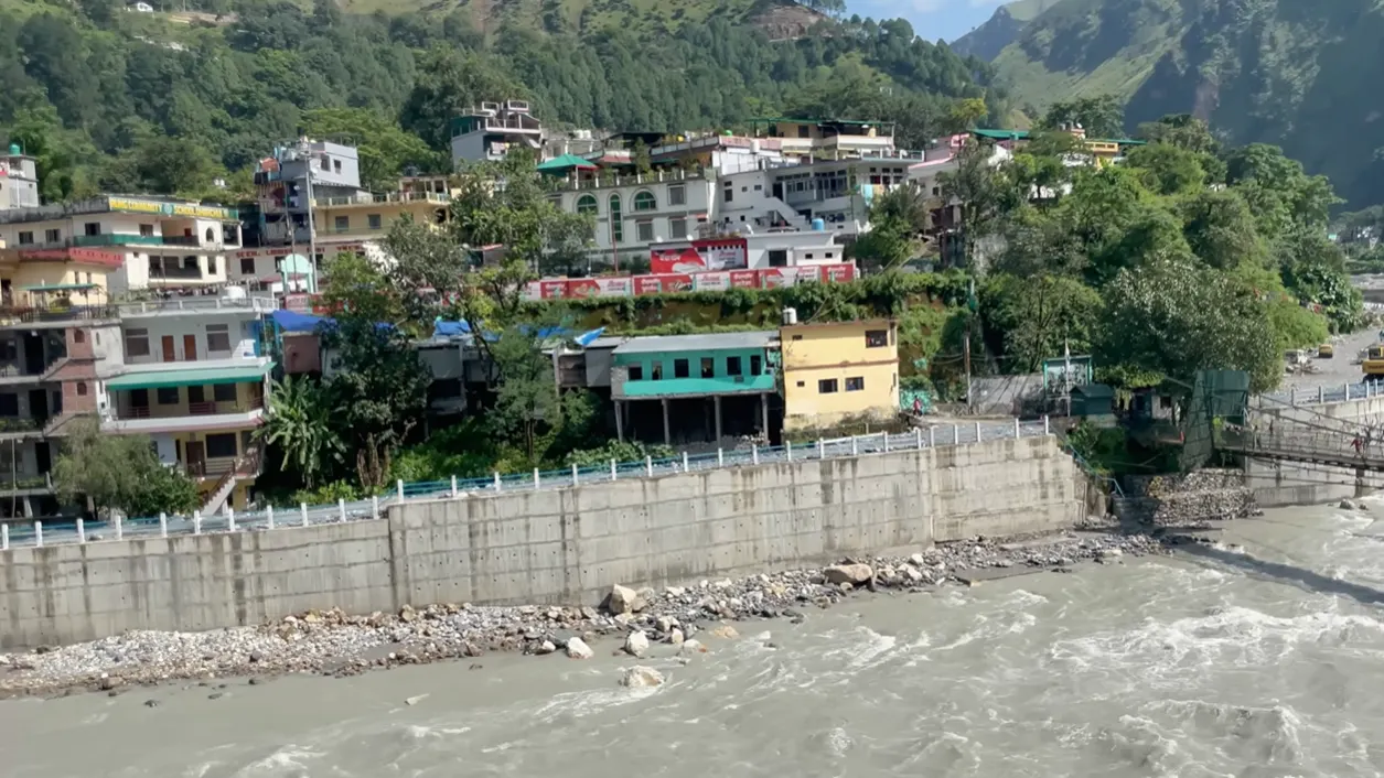
Dharchula is where the journey changes character. It sits beside the Kali River, with Nepal directly across the water, and it is the last place where we could deal with permits, refuel properly and reorganise before the remote road. We found a simple room on the main road for roughly ₹1,400 for three people. The food and morning tea were good, and the price felt fair. Parking was the weak point. Many stays in the crowded market area have limited private space, so check that before committing if you are driving your own vehicle.
We also noticed how limited the dining choices felt at night. Dharchula is not a tiny village, but it does not behave like a tourist town with restaurants open everywhere. Arrive with some food in the vehicle. That small buffer saves unnecessary searching after a long drive.
Day 2: Permit work, Nepal on foot, then the climb to Budhi
The second morning of our Adi Kailash Yatra started with permit work. Our experience was slow because the town had power and network trouble, and it took longer than expected to get moving. The requirement beyond Dharchula is serious. Our documents were checked again on the route, so copies and original identification need to remain accessible rather than buried under luggage.
Permit rules are time-sensitive. In our case the formalities were handled in Dharchula, but travellers should verify the current issuing point, required medical paperwork, permitted vehicle arrangement and route status before the trip. An official Uttarakhand Tourism planning document maps the circuit through Dharchula, Budhi, Gunji, Nabi, Kuti, Jolingkong and Parvati Kund, but current movement still depends on the local administration.
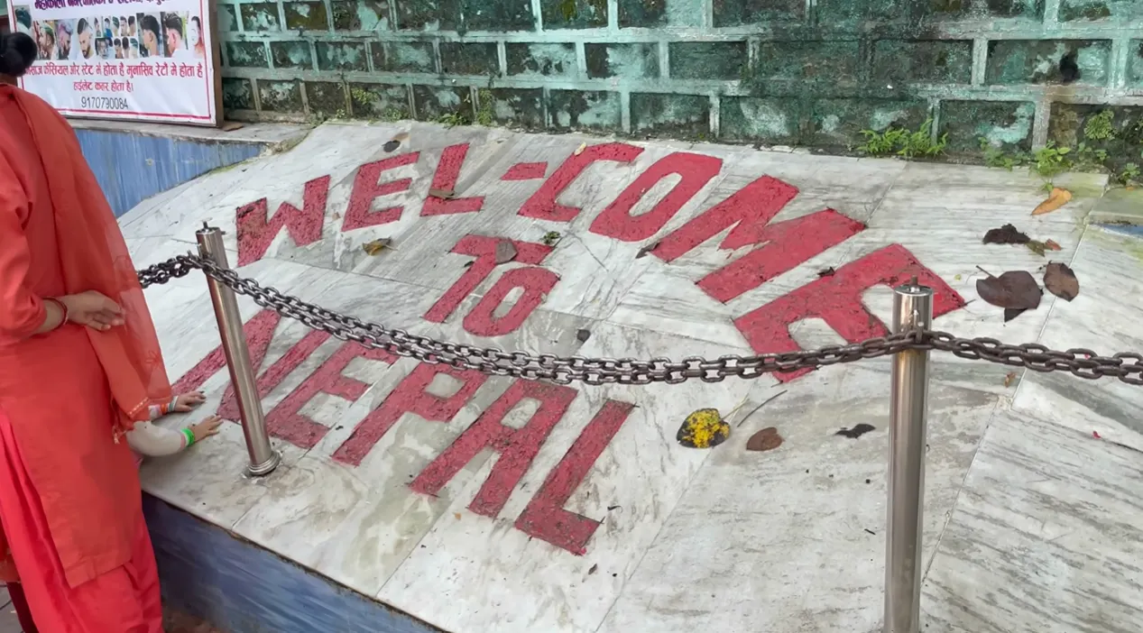
While waiting, we crossed the pedestrian bridge into Nepal. The border walk was simple, with identity checked before crossing, and the market on the other side felt more familiar than foreign. Vehicles do not use this footbridge, so this was just a short walk, a meal and a look around before returning to Dharchula.
Fuel deserves its own reminder. We filled the tank near Dharchula and carried an extra reserve because the upper route has very limited support. The road may demand a repeat run if cloud blocks a mountain view, and a closure can leave the vehicle idling or detouring for hours. Do not assume the distance on a map tells you how much fuel the day will consume.
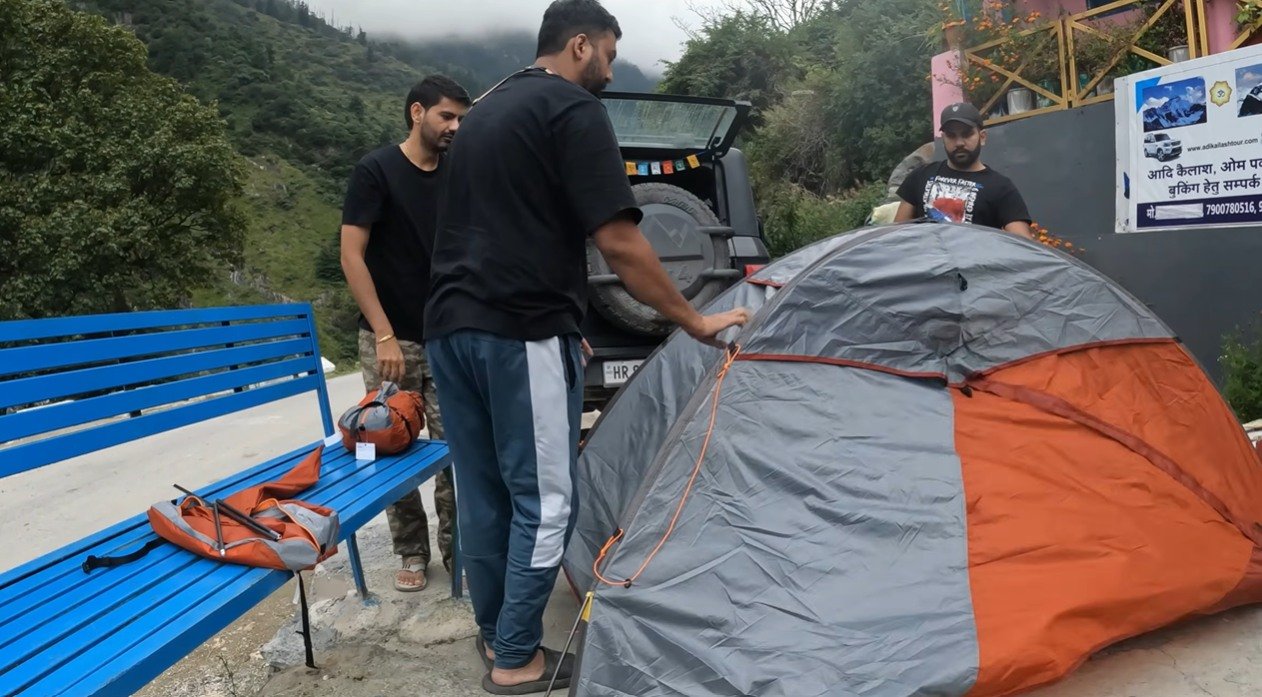
We reached Budhi around 5 pm after leaving Dharchula later than planned. A homestay location had space outside, so we pitched our tent there and ate locally. It was not a polished camping setup. We shifted the tent, argued with the ground, moved the mattress and finally made it work. The room we saw nearby was basic but usable, with a bed, sofa and attached washroom. After the drive, that was enough.
Day 3: Budhi to Om Parvat and the night at Nabi
The third day of our Adi Kailash Yatra began when we packed the tent and left Budhi for Gunji, then continued toward the Om Parvat viewing area. The road was rough enough that speed was never the point. Some stretches were simply a slow crawl over loose, uneven ground. A clear sky mattered more than reaching five minutes earlier.
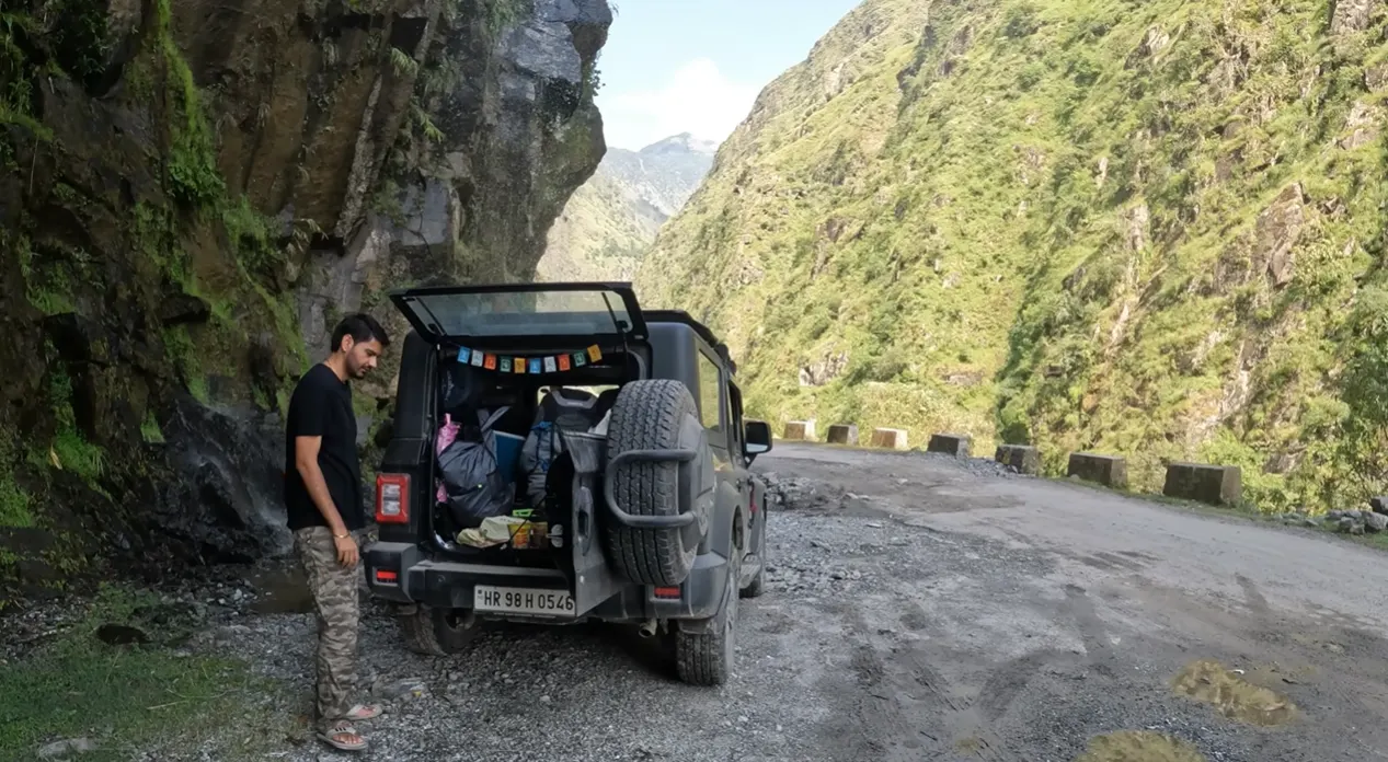
At the Om Parvat side, a check post marked the practical viewing limit during our visit. The road continued, but visitors were not being allowed farther. The air felt thin, and quick movement made breathing noticeably harder. We slowed down, spoke less and did not treat the viewpoint like a casual roadside stop. Anyone with an existing medical condition should obtain personal medical advice before this journey. General travel writing cannot tell you whether your body is fit for this altitude.
We had clear views. That was luck as much as planning. Cloud can hide the mountain even after you complete the drive, which is why staying in the Gunji area gives you more flexibility than rushing back toward Dharchula the same day.
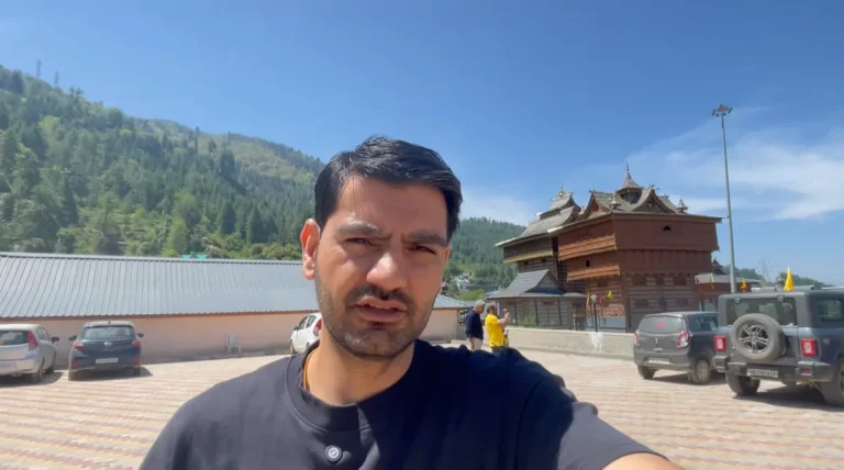
On the return side we stopped at the Kali temple between the Om Parvat area and Gunji. The place was quiet, clean and full of bells moving in the wind. Water begins as a small flow near the temple and grows stronger farther down. There was no crowd pressing us to move on, so we sat for a while. That unhurried stop stayed with me as much as the famous viewpoint.
Our original plan was to stay in Gunji, but we still had daylight. We drove a little farther toward Adi Kailash and stopped at Nabi, only a short distance ahead. The homestay was simple and inexpensive, with beds lined up in the room. Food was homely and the village views were excellent. There was effectively no normal mobile network. We were told that one house higher in the village had Wi-Fi that could be shared for an urgent call. Treat connectivity as a bonus, not a service you can rely on.
Day 4: Nabi, Kuti and a road block before Adi Kailash
On the Adi Kailash Yatra route, Kuti was the next important checkpoint, around 15 kilometres beyond Nabi in our journey. The road on this side felt better than the Om Parvat branch in places, though construction was still visible. Permits were checked again.
Then the road stopped for a reason no itinerary could predict. A dispute involving a locally collected fee and the police led villagers to block vehicles. Travellers waited while people argued. We had no control over it, and the frustration was real because the delay threatened the entire day at Jolingkong. The road eventually opened, but it showed why a tightly packed schedule is a poor fit here.
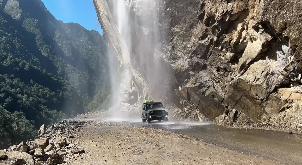
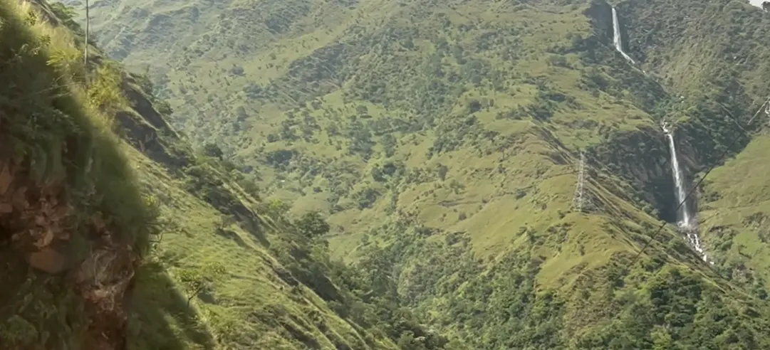
Jolingkong was where we parked for the Adi Kailash section. Tents and basic refreshment options were available near the base area. We carried water because the walk above did not have shops at convenient intervals. The sun was surprisingly harsh while the wind remained cold, so sunglasses, a cap and a light warm layer all earned their place in the bag.
Adi Kailash, Parvati Sarovar and Gauri Kund on foot
The first part of the walk rose from the base, then the path became more manageable. The altitude still slowed us. We reached the temple and Parvati Sarovar with Adi Kailash standing beyond it, the peak carrying a broad layer of snow while many surrounding slopes looked mostly bare. The contrast made the mountain easy to pick out.
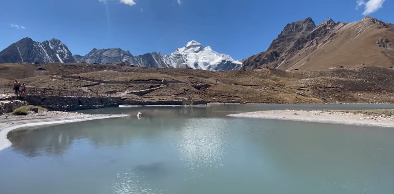
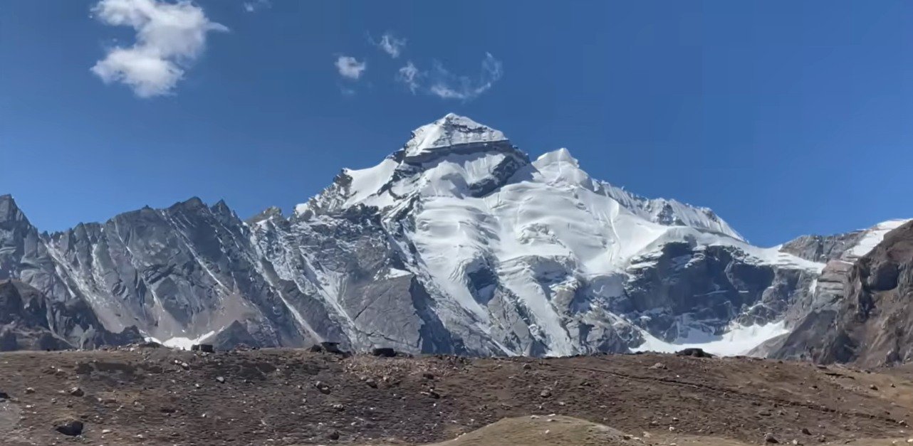
Parvati Sarovar is close to the temple. The water was painfully cold when I touched it, and the edge was soft enough that feet could sink into the wet ground. I would not casually recommend bathing there. The setting is peaceful, but it still needs common sense and respect.
Gauri Kund required more walking. I had repeatedly described the main walk as about two kilometres while filming, then corrected that the next morning. The shorter figure applies to the Parvati Kund side from the base. Adding Gauri Kund extends the outing by roughly another four kilometres in our account, bringing the full walking day closer to six kilometres. It took us around two and a half to three hours for the extended section. We even did it in slippers, which was not a clever choice. Proper walking shoes would have made the loose ground and cold conditions easier.
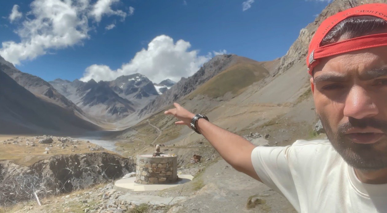
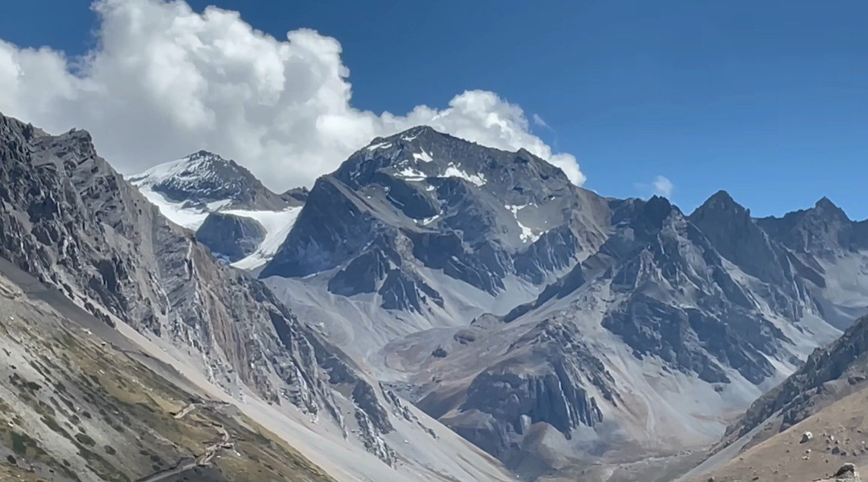
Horses and mules were present during our visit, but availability and conditions should be checked locally. Do not build your entire plan around finding one on arrival. The same applies to food, rooms and road access at the base.
Day 5: The return road ruined our neat plan
After the main Adi Kailash Yatra section, we returned to Nabi, then started back through Dharchula with Patal Bhuvaneshwar in mind. The distance looked possible on paper. The road disagreed.
Construction and blockages cost us hours. At two points, machines were clearing the way and traffic simply waited. We had to stop 30 to 40 kilometres before our intended destination and take a room rather than force a late mountain drive. The homestay was clean, the view was good and the family served fresh bhindi grown locally. It turned an inconvenient halt into a pleasant evening, but it was still a halt we had not planned.
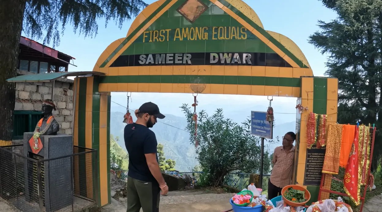
Day 6: Patal Bhuvaneshwar was not a casual final stop
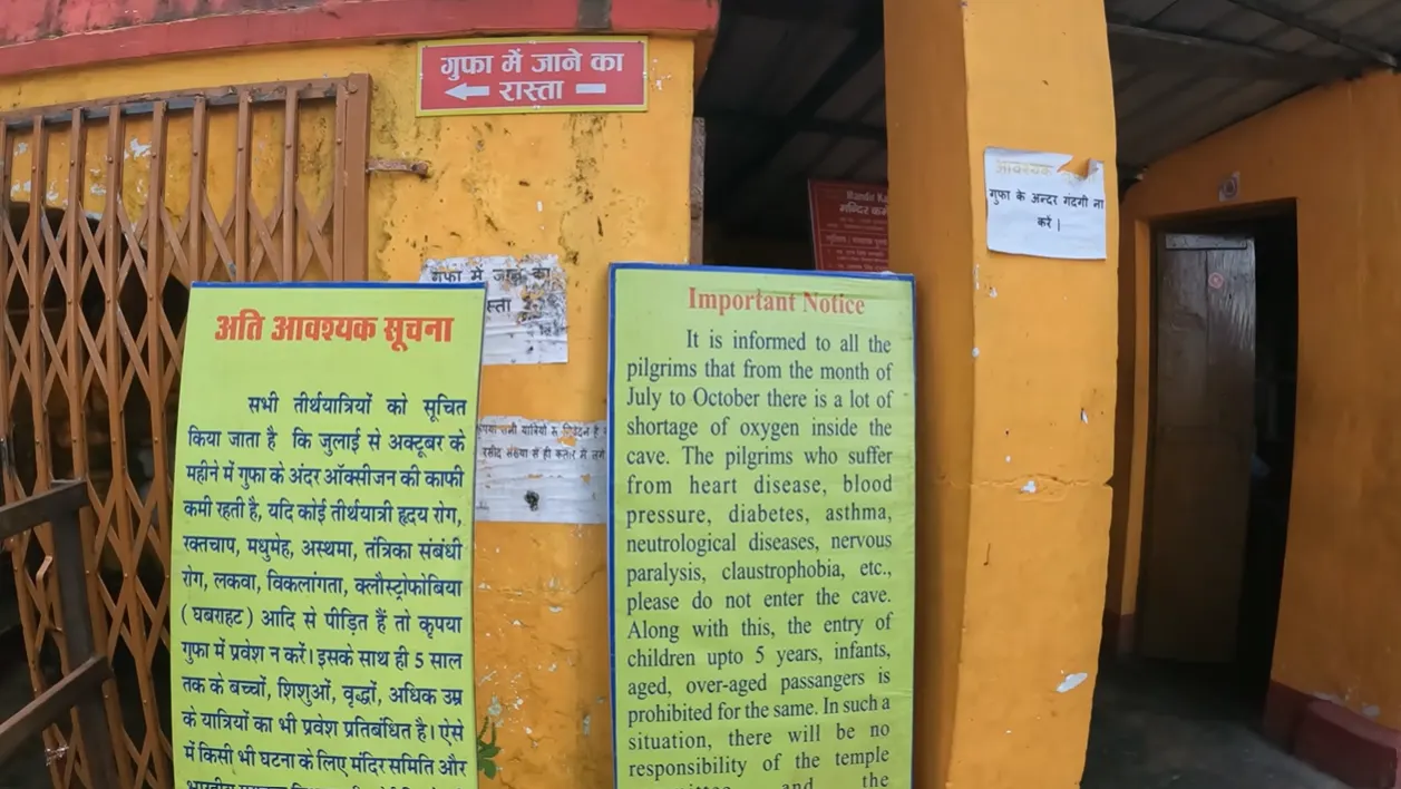
We reached the Patal Bhuvaneshwar area after breakfast and parked near the approach. The walk descends toward the temple area, and the cave visit has its own rules. Phones and cameras were deposited before entry, so there is no cave footage in our vlog. A guide accompanies visitors inside.
The warning outside deserves attention. It mentions reduced oxygen in the cave and advises people with listed medical conditions not to enter. It also warns against entry for very young children and older visitors in the stated groups. Read the current notice yourself and follow the temple staff’s instructions. The descent is confined and physical. This is not the place to ignore a health concern because you have already driven a long way.
What I would prepare differently next time
If I repeated the Adi Kailash Yatra, I would protect more time in Dharchula for permit work, keep one spare day for road closures and wear proper shoes at Jolingkong. I would also carry a small amount of food and water where it could be reached without opening the main luggage. Those changes sound boring beside the mountain photos. They are the changes that would actually improve the trip.
A capable vehicle matters, but patience matters just as much. We drove rough surfaces, waited for road clearing, watched a local dispute stop traffic and changed the night halt when daylight ran out. A driver who knows mountain roads and does not chase speed is more useful than an aggressive schedule.
For clothing, we needed protection from two opposite conditions on the same walk: strong sun and cold wind. A cap, sunglasses, sunscreen, a warm layer and water were all useful. Keep your identification and permit papers dry and easy to show. Carry cash because network-dependent payments may fail above Dharchula.
Who should consider this trip carefully
This is not a conventional sightseeing drive. The route combines long hours in a vehicle, rough mountain roads, limited connectivity, high altitude and a walk that can extend well beyond the temple if you include Gauri Kund. If you have heart, breathing, blood pressure or mobility concerns, speak with a qualified doctor who understands your history before booking. Local restrictions and the current medical process still take priority over any blog.
Families should also check age-related rules and the physical demands at every stop rather than treating the whole circuit as one product. Patal Bhuvaneshwar, the Om Parvat view area and Jolingkong create different challenges.
Related Uttarakhand trips on this site
If you are building a longer Uttarakhand plan, our Tungnath trek from Chopta covers another high-altitude temple day with a very different road and walking pattern. Our Madhyamaheshwar trek is a much longer walk, while the Mana Village guide is easier to combine with a Badrinath route. For a lower-altitude city break, see our Rishikesh weekend guide.
My honest take after the six days
The clear views of Om Parvat and Adi Kailash justified the effort for me, but I would not sell this as an easy pilgrimage. The permit delay, rough surface, blocked road, thin air and changed night halt were part of the same trip as the quiet temple, the bells at Kalapani and the first full view across Parvati Sarovar.
If you go expecting uncertainty, build in time and respect what the altitude is telling you, the route can be deeply rewarding. If you need every booking, meal and arrival to work at a fixed hour, it may become exhausting very quickly. I would return, though I would return with better shoes and a less optimistic schedule.
View the Uttarakhand Tourism circuit planning document for the mapped regional route, then confirm current permits and road access with the local authorities before travelling.
Adi Kailash route map
This map marks Adi Kailash. Use it for orientation only. It does not replace the current permitted route, check-post instructions or local road advice.